
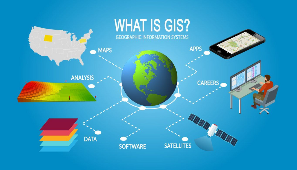
Stepping into the seventh semester of your BICTE journey means tackling specialized technical domains where computing directly interfaces with physical geography. Navigating Geographic Information System requires a balanced understanding of spatial theory alongside hands-on software execution, which can feel challenging without an organized academic outline.
Tribhuvan University designed this comprehensive curriculum for Bachelor of Information and Communication Technology in Education (BICTE) seventh-semester students enrolled in Geographic Information System under course code ICT. Ed. 473. Having the official roadmap enables you to plan your semester study schedule, align your lab experiments, and focus on the essential competencies expected by the university.
Whether you are setting up your geographic software environment or preparing for final theoretical evaluations, this syllabus clarifies the learning goals, practical demonstrations, and assessment breakdown. Studying each area with clear purpose ensures that you build both academic confidence and practical spatial analysis capabilities.
BICTE 7th Semester Geographic Information System Syllabus
Skip to PDF contentRelated notes and resources
Notes
What the BICTE GIS Course Covers
The course establishes foundational principles of spatial thinking, geographic coordinates, and cartographic representation. Students explore how geographic data is gathered, organized, and abstracted to solve complex environmental and planning challenges across varied landscapes.
Core conceptual areas delve into spatial data structures, distinguishing how raster grids and vector geometries model geographic reality. Learners examine surface representations, attribute management, and the organizational frameworks required to manage multi-layered geographic datasets efficiently.
Advanced sections focus on spatial search operations, topological relationships, and pattern analysis across geographic distributions. The subject investigates distance calculations, surface interpolation, and network routing mechanisms to evaluate connectivity, accessibility, and flow within spatial networks.
Hands-on laboratory sessions form an integral component of the curriculum, emphasizing desktop geographic software, spatial databases, and network analysis plugins. This applied focus ensures that theoretical knowledge of spatial algorithms translates directly into actionable map design, spatial querying, and real-world analytical problem solving.
Exam and Study Preparation Tips for GIS
Mastering spatial data models requires continuous practice with visual mapping rather than rote memorization. Make sure to sketch out the structural differences between raster grid representations and vector point, line, and polygon features to solidify how spatial topology functions during theoretical exams.
Dedicate ample time to your hands-on software exercises in the laboratory. Working directly with open-source desktop GIS platforms, vector styling, and spatial database queries helps you intuitively understand data transformation workflows, making descriptive exam questions much simpler to answer.
Pay close attention to network analysis concepts, distance measurements, and surface interpolation methods. Understanding how impedance values, shortest-path algorithms, and continuous surface predictions operate will prepare you well for both analytical exam scenarios and practical viva discussions.
Review the evaluation criteria and keep your laboratory logbook and project documentations thoroughly organized throughout the semester. Because Tribhuvan University requires passing marks across internal assignments, practical vivas, and the final board examination separately, steady semester-long engagement is vital for achieving top grades.
Frequently asked questions
What course code is assigned to BICTE GIS in Tribhuvan University?
The Geographic Information System course in the BICTE seventh semester under Tribhuvan University is officially designated as ICT. Ed. 473.
How is the evaluation distributed for the ICT. Ed. 473 course?
The course carries a total of 100 marks, distributed into internal assessment, external practical examination with viva, and the final theoretical semester examination conducted by the Dean’s Office.
Do students need to pass internal and external exams separately?
Yes, students must achieve passing marks separately in their internal assessment, practical exam or viva, and the final theoretical semester board examination.
Which practical software tools are recommended for this GIS curriculum?
The curriculum emphasizes open-source tools including QGIS alongside spatial database extensions like PostgreSQL with PostGIS and pgRouting for spatial analysis and network computations.
About Noted Insights
Noted Insights was founded by Ajay Mahato in 2022 to provide university students in Nepal with reliable, high-quality academic resources. From comprehensive syllabi and college lecture notes to past question collections and IT career guides, our mission is to empower learners with the knowledge and technical skills they need to reach their educational goals.
We believe that quality education transforms lives and should be accessible to every ambitious student across Nepal, regardless of location or background. Stay dedicated to mastering your GIS concepts, explore our curated BICTE study materials, and best wishes for an outstanding semester!
